TwinsTech
The Challenge
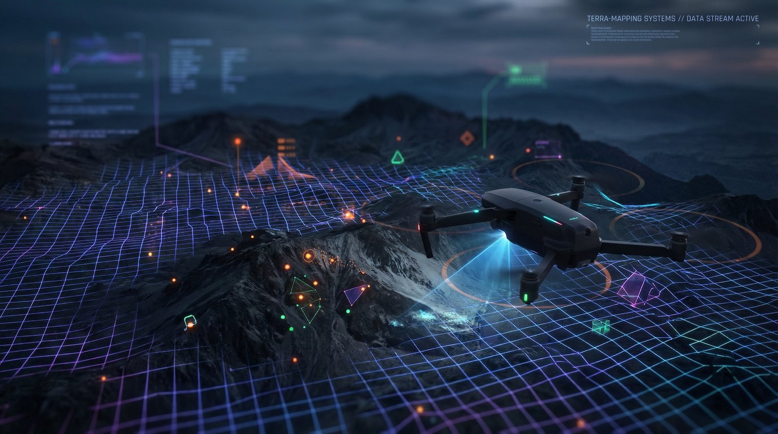
The Aerial Challenge
Ground-level perspectives limit what you can capture and analyze about large-scale projects.
- Limited visibility of large sites and properties
- Expensive and time-consuming manual surveys
- Difficulty documenting construction progress
- Lack of aerial visual content for marketing
Our Solution
Our Approach
We deploy advanced drone technology to capture stunning aerial content and precise data.
Aerial Photography
High-resolution aerial photos for marketing, documentation, and analysis.
Mapping & Surveying
Precise orthomosaic maps and 3D terrain models for planning and monitoring.
Infrastructure Inspection
Safe, detailed inspections of buildings, towers, and infrastructure assets.
Visual Analytics
AI-powered analysis of aerial data for insights and decision making.
Use Cases
Real-World Applications
🏗️
Construction Progress
Regular aerial documentation of construction sites for progress tracking and reporting.
🏠
Real Estate Marketing
Stunning aerial views and video tours that showcase properties from every angle.
🔍
Site Inspection
Detailed aerial inspections of roofs, facades, and infrastructure for maintenance planning.
Technology
Our Tech Stack
DJI EnterprisePix4DDroneDeployAgisoftAutoCADArcGISAdobe PremiereLightroom
Let's Take Your Vision Higher
Ready to capture stunning aerial content and data-driven insights?
Get in Touch